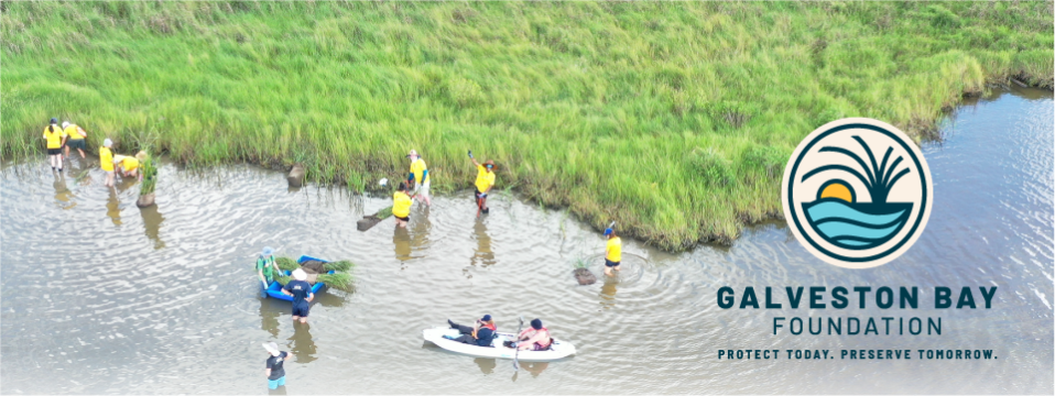

Begin Your Water Monitor Certification Journey
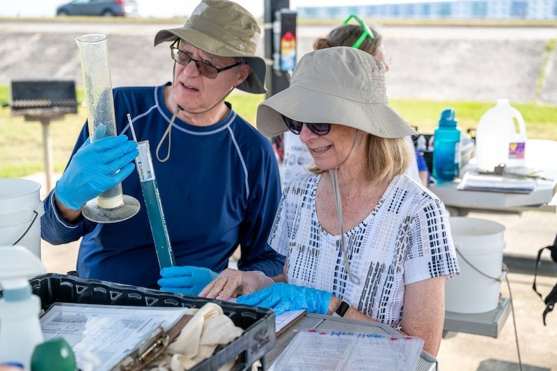
As a GBF Water Monitoring Team volunteer, you become part of a community-powered effort to protect the health of Galveston Bay through consistent, science-based stewardship.
By collecting monthly water quality data, volunteers like you can help make invisible environmental changes visible while supporting scientists conducting real research that informs communities and strengthens collective action to protect Galveston Bay.
At GBF, you can also train to become a certified Texas Stream Team Water Quality Monitor and go on to monitor a more inland sites with the support of a Texas Stream Team Partner.
What Water Monitors Do
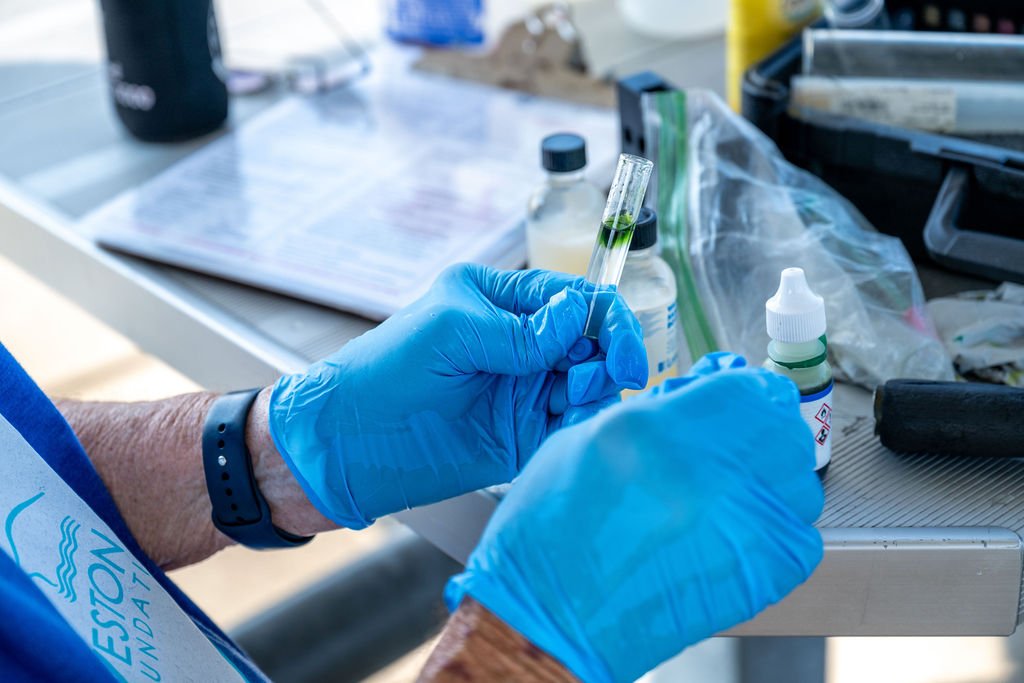
Each month, certified volunteers collect essential environmental data including temperature, dissolved oxygen, salinity, pH, water clarity, and more from assigned monitoring sites throughout the Galveston Bay watershed.
Depending on their training, volunteers can sample at GBF supported sites or sites supported by a partner like the Houston-Galveston Area Council or the Bayou Preservation Association.
This hands-on work contributes to statewide citizen science initiatives and supports public resources such as SwimGuide.org, helping communities, researchers, and policymakers better understand local water conditions.
GBF Certification Pathway
- Commit to a 2-year volunteer role, sampling monthly at an assigned site.
- Complete a one-day Texas Stream Team Standard Core workshop through GBF or an approved partner organization.
- Review available monitoring locations before registering to ensure site compatibility.
- Complete a one-on-one field certification session with GBF’s Water Protection Team.
We host Standard Core Training and GBF Site Training at least one or twice a year as we are able. Click the button below to view current offerings.
Before registering for GBF Site Training: Review open sample sites below to determine where you’d like to serve. Site availability may change over time based on volunteer placement and program needs.
Partner-hosted Water Monitor Workshops
Whenever GBF is not offering direct Standard Core certification workshops, volunteers can complete certification through Texas Stream Team or partner organizations before completing site-specific certification with GBF.
- Texas Stream Team Calendar ↗
- Houston-Galveston Area Council Stream Team ↗
- Bayou Preservation Association Citizen Science ↗
Currently Open GBF Supported Monitoring Sites
| Site ID | Site Description | GPS Coordinates | Map Link |
|---|---|---|---|
| 80961 | East Bay at Frozen Point 3 (Anahuac National Wildlife Refuge) | 29.540939, -94.520594 | View Map |
| 81045 | Clear Lake at Kemah Boardwalk Aquarium | 29.548575, -95.021002 | View Map |
| 81035 | Christmas Bay at 257S County Boat Ramp | 29.04855, -95.165262 | View Map |
| 80949 | East Bay at Stingaree Restaurant Bar | 29.482082, -94.605146 | View Map |
| 80954 | West Bay at Sportsman Road | 29.255152, -94.918154 | View Map |
| 80956 | Clear Lake at Blue Dolphin Yachting Center | 29.558397, -95.028258 | View Map |
| 81280 | East Bay at Frenchtown Road | 29.371335, -94.777401 | View Map |
| 81042 | Galveston Bay at Pier 19 | 29.310333, -94.79159 | View Map |
| 81181 | Christmas Bay at Drum Bay | 29.012322, -95.218178 | View Map |
| 80418 | Galveston Bay at Seascape Pier | 29.584541, -94.996785 | View Map |
| 81044 | Galveston Bay at Shoreacres Pier | 29.62203, -95.004664 | View Map |
| 30007 | Offatt's Bayou at Camarone's Coastal Tex Mex | 29.279244, -94.834784 | View Map |
| 80467 | Clear Lake at Lakewood Yacht Club | 29.554589, -95.03102 | View Map |
| 81160 | Galveston Bay at Texas Corinthian Yacht Club | 29.529184, -95.003288 | View Map |
| 81162 | Galveston Bay at Houston Yacht Club | 29.619189, -94.999144 | View Map |
| 81284 | Galveston Bay at Morgan's Point | 29.678535, -94.982404 | View Map |
| 81305 | East Bay at East Bay Boat Ramp | 29.575048, -94.555659 | View Map |
Questions? Contact GBF’s Water Protection Team at waterquality@galvbay.org for certification guidance, site availability, and volunteer onboarding support.